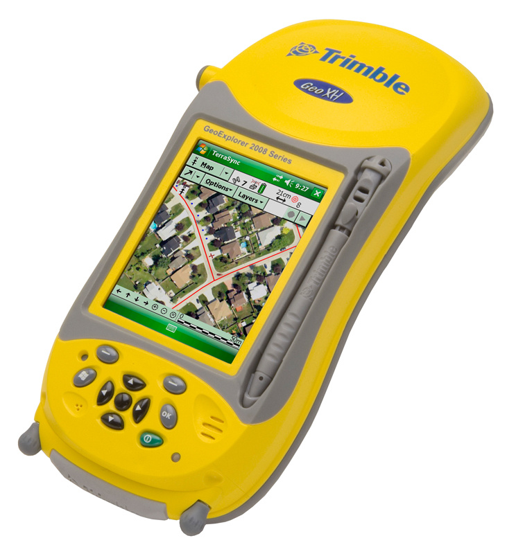
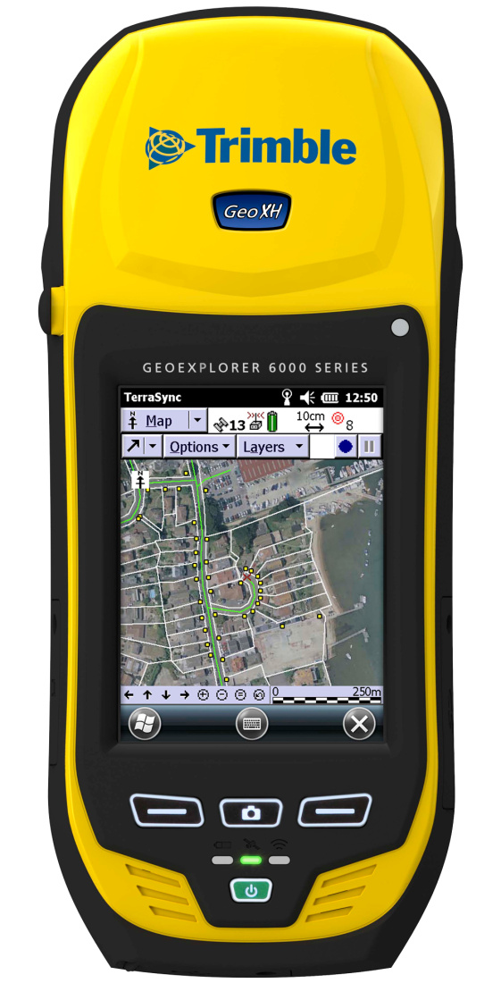
Trimble Geo 7x
Centimeter GPS with TerraSync Pro GIS Software
Featured GPS Rental
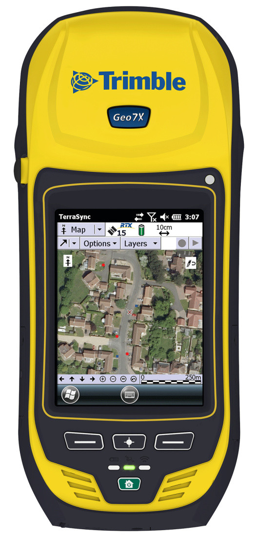
Trimble’s Geo 7X handheld data collector is a member of their GeoExplorer series and is an integrated, field-ready, highly accurate handheld GNSS. The Geo 7X provide highly accurate location data and can also deliver usable data in challenging situations such as positions under a tree or near a tall building. Remote mapping and measurement is available. The Geo 7X also incorporates a 5 MP autofocus camera with geotagging capabilities and a display optimized for viewing in sunlight.
Ranges
- GPS
- Channels 220
- Update rate 1 Hz
- Time to first fix < 45 seconds
- Accuracy real time SBAS < 100 cm
- Accuracy code postprocessed 50 cm + 1 ppm
- Accuracy H-Star postprocessed 10 cm + 1 ppm
Features
- Highly accurate GIS data collection
- GPS/GLONASS receiver
- Dual-frequency GNSS antenna
- 5 MP autofocus camera with geotagging
- Terrasync standard
- Real time SBAS including WAAS in North America
- Real time correction support
- NMEA and TSIP2 support
- Rugged and water resistant
- Backlit outdoor color touch screen display
- Flash data storage
- SD card slot
- Bluetooth
- WiFi
- Windows 5.0 mobile
- Microphone and speaker
- PC interface
Specifications
- Flash storage 4 GB
- SDup to 32 GB
- Input power rechargeable lithium-ion battery
- Runtime 7–10.5 hours
- Wifi 802.11b/g
- Bluetooth 2.1 + EDR
- Operating temperature -4 to 140°F
- Maximum operating altitude 29,000 ft
- IP rating 65
- Dimensions 9.2” x 3.9″ x 2.2″:
- Weight 2.4 lbs